


Point Roberts, WA is a unique destination that offers a mix of outdoor activities and small-town charm.
Here are a few things to do when visiting Point Roberts:
- Take a walk or bike ride on the picturesque Boundary Bay Dyke Trail, which offers stunning views of the ocean and mountains.
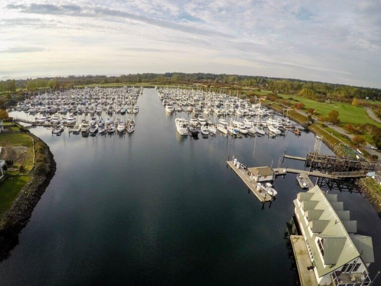
- Visit the Lighthouse Marine Park and admire the iconic Point Roberts Lighthouse, built in 1879.
- Go beachcombing and birdwatching at the Point Roberts beaches.
- Have a picnic at the Lily Point Marine Reserve and enjoy the natural beauty of the area.
- Explore the local art scene at the Point Roberts Art Studio Tour, held annually in the summer.
- Enjoy a round of golf at the Point Roberts Golf Course, which features beautiful views of the ocean and the San Juan Islands.
- Visit the Point Roberts Farmers Market, held on Sundays from May to October, to sample local produce, crafts, and other products.
- Take a day trip to the nearby towns of Blaine and Bellingham, which offer a variety of shopping, dining, and entertainment options.
The Convention of 1818 established the border between Canada and the US using the 49th parallel but caused issues with Vancouver Island’s division and the inclusion of Point Roberts.
The Oregon boundary dispute arose and despite President Polk’s suggestion for making Vancouver Island an island of two countries, it was rejected by the British. Eventually, Vancouver Island was given to Canada, and the San Juan Islands to the US.
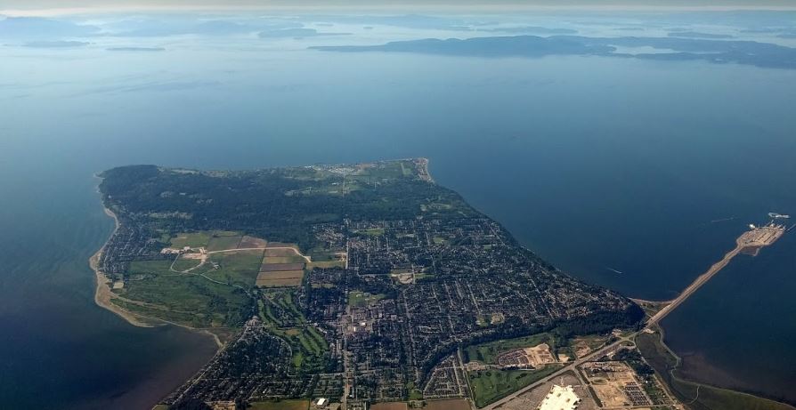
It is worth noting that Point Roberts, is a small peninsula that is geographically separated from the rest of the United States and only accessible from Canada. You can find more information about the convention of 1818, Point Roberts, and the Oregon boundary dispute on the following links:

Sorry, no records were found. Please adjust your search criteria and try again.
Sorry, unable to load the Maps API.